
Clouds and Fog
Clouds
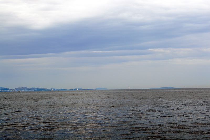
Clouds can give a relatively easy and quick look at what might be coming in the future. Compare these to the two cross-sections of warm and cold fronts presented earlier. Notice that both warm and cold fronts are preceded by cirrus clouds. These clouds then are a good indication of possible changing weather in the next few days.
But because there is so much going on in the atmosphere, any serious prediction of weather from cloud observations is difficult unless you are a complete expert. Given that most of us are not expert meteorologists, it is better to heed the information on your smartphone.
Below are the most common clouds.
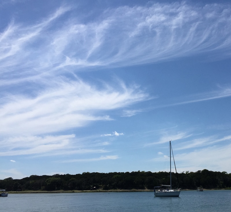
Cirrus Clouds: very high and wispy. Possible warm or cold front approaching.
Cumulus Clouds: cotton ball shape. Fair weather clouds. Not too much happening.
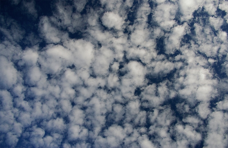
Altocumulus Clouds – very high small and cotton ball shape.
Stratus Clouds– low thick clouds. These are typically rain clouds and are associated with warm fronts and low-pressure systems.
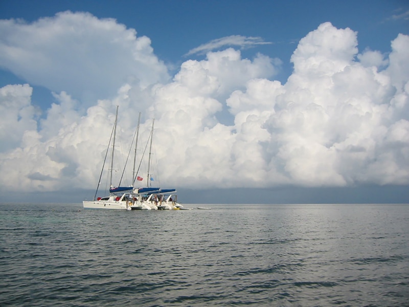
Cumulonimbus Clouds– tall puffy clouds often associated with severe thunderstorms. Watch out for these.
Fog
Since fog is one of the more menacing weather conditions because of the risk of collision, it is prudent to know there’s a possibility before leaving the slip or anchorage. Fog banks can often be observed as they move into an area. Whenever fog occurs, the vessel must have a plan of action. These include:
- Knowing and making the proper sound signals.
- For recreational powerboats underway you should make one prolonged (4-6 seconds) sound blast every 2 minutes.
- For recreational powerboats sitting adrift, you should make two prolonged (4-6 seconds) sound blasts every 2 minutes.
- Posting crew to maintain a lookout
- Using radar and AIS if available
- Proceeding slowly
- Turn down music and listen intently for other vessels
- Using your VHF to contact other vessels and inquire about conditions around you

Fog Enveloping the Golden Gate Bridge
Fog occurs when the air becomes saturated with moisture by a changing temperature and/or air pressure condition. Fog might occur as a relatively local event, often near shore as it rolls off the land, or it might be much larger, covering a huge area. Over land, radiation fog occurs when the land cools and subsequently, the air next to it cools and moisture drops out, forming fog. Remember that colder air holds less moisture.
Advection fog over the water can be generated by warm, moist air blowing over a cold sea just like your breath on a cold morning. And unlike land-based morning fog, advection fog doesn’t necessarily mean it will burn off as the day warms up.
The many conditions that could lead to fog formation make it prudent for sailors to know what these are for their local area. However, professional forecasting is now very good and should be monitored.

