AIS
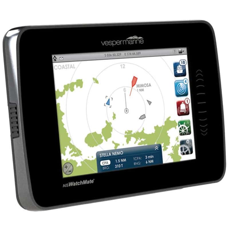
The Automatic Identification System (AIS) is an automated tracking system used on ships and by Vessel Traffic Services (VTS) for identifying, locating, and tracking vessels. With an AIS unit on board, you can see if a ship is a threat to your current course and position. AIS information supplements marine radar, which continues to be the primary method of electronic collision avoidance for water transport. Information provided by AIS equipment, such as identification name and MMSI, position, course, speed (or at anchor), closest point of approach (CPA—how close will the vessel get to my vessel?) and time to the closest point of approach (TCPA—when will the CPA take place?) can be displayed on a screen for analysis by the watch person. The watch person, knowing the name of the vessel can easily hail the approaching vessel on VHF (channel 16).

An AIS Navigation Screen on the Chart Plotter
AIS operates at 161.975 MHz on the VHF band. Currently only ships over 300 gross tonnage or passenger ships of any size are required to broadcast AIS information about their vessel. However, some recreational vessels now have opted to broadcast AIS for safety reasons; but many don’t. Thus, you’re not going to get an accurate picture of all traffic with AIS. As a result, AIS should not be considered an automatic collision avoidance system but rather a way to gauge the risk of collision. Keep in mind that if you’re transmitting an AIS signal, then large ships have a better chance of seeing you, even if you are way out at sea, which creates some peace of mind.
In 2007, a new class B standard of AIS was introduced that enabled a new generation of low-cost AIS transducers and thus triggered recreational mariners to invest in the AIS technology for their vessels. A third class is a receive-only AIS, meaning you can see information about them, but they can’t see you.
The transmitting AIS units (A and B) require a GPS transponder unit to collect your GPS position in order to transmit.
The video below is an excellent summary of AIS technology in action.
AIS
A super cool application of AIS is that the navigation authorities of each country such as the US Coast Guard can use AIS technology to virtually and digitally position a warning lighthouse anywhere on the planet. Physically there may not be anything there except a dangerous rock. However, in the virtual digital space, you can see the warning beacon on your AIS chart screen in its exact place broadcasting an exact description of the hazard.
You are well advised as a prudent mariner to get AIS fitted on your vessel and effectively learn how to use its functions.


